
Anchorage is the fourth-largest municipality in the United States by area. Before FEMA will fund mitigation there, the Municipality needs a plan FEMA approves.
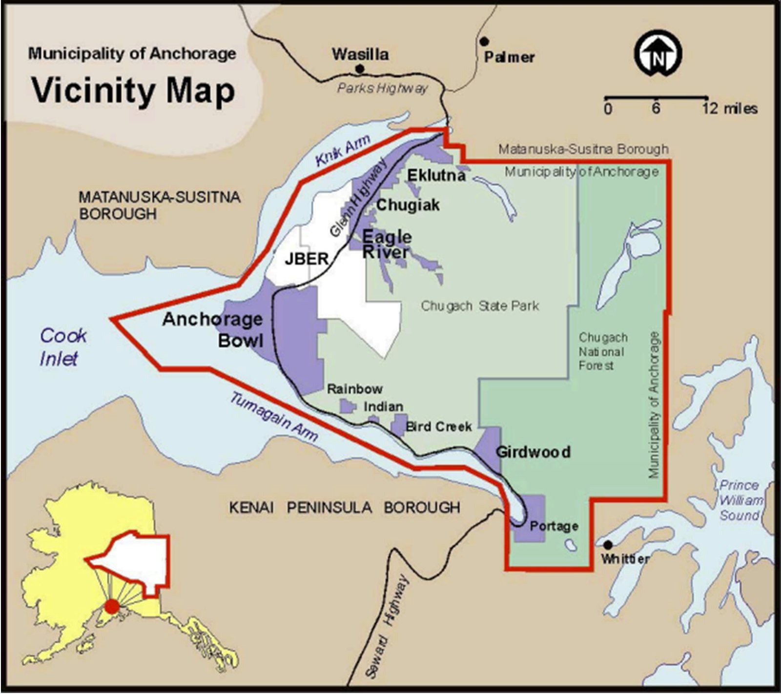
The All Hazards Mitigation Plan identifies what threatens Anchorage, ranks the risk, and sets out a strategy to reduce it. Earthquake, wildfire, flooding, avalanche, volcanic ash and extreme weather sit alongside dam failure, energy emergencies, hazardous materials and cyber attack.
The update was built with a committee drawn from emergency management, engineering, maintenance and operations, the school district, the water and wastewater utility, the Port, health, police and fire. We worked with that committee on the update, and the plan gives the Municipality a list of projects it can put forward for funding.
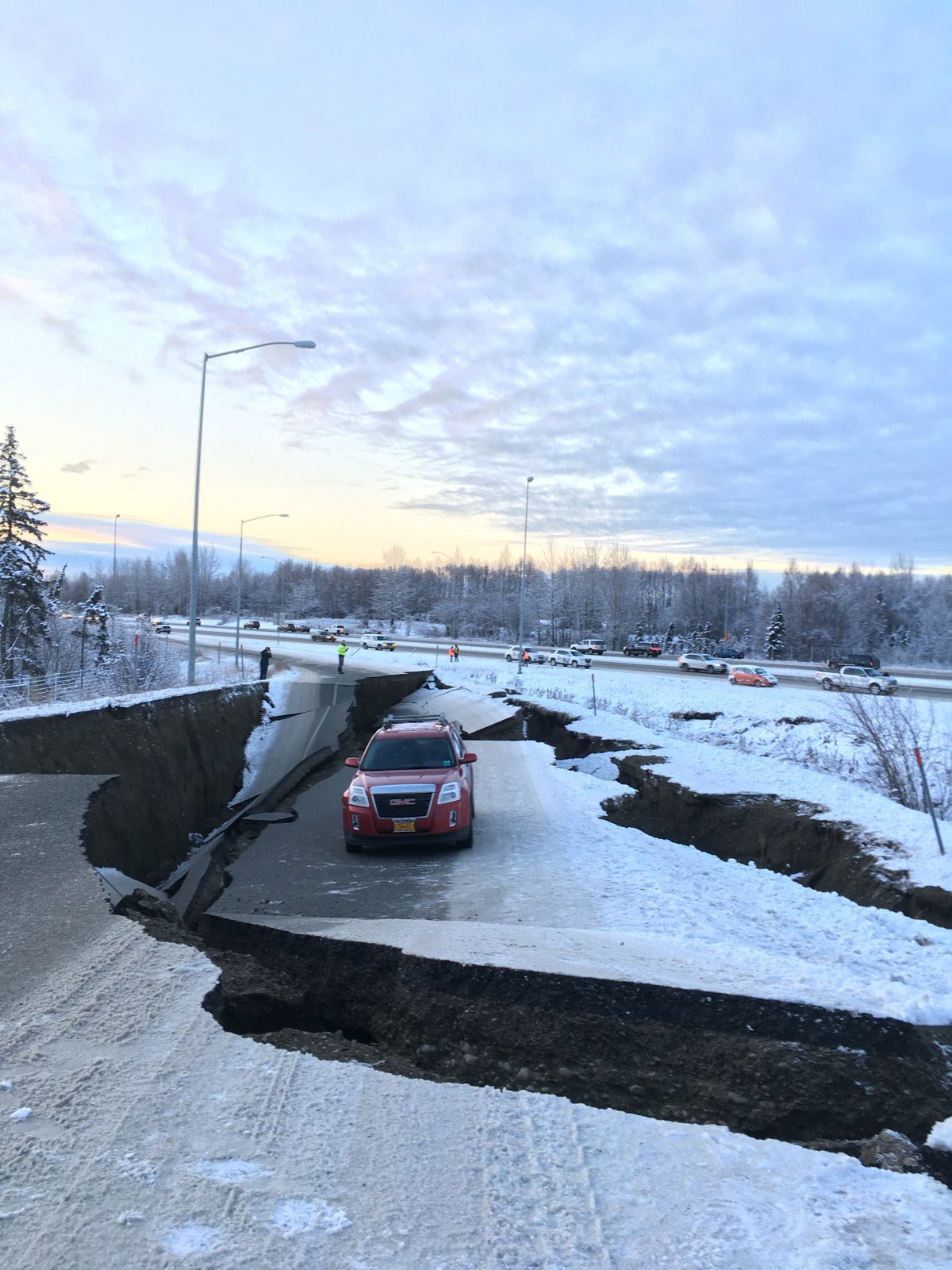
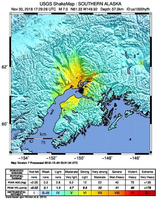
Earthquake is the hazard that could do the most harm in Anchorage. The plan profiles its history, from 1964 to 2018, and models the damage from a future M7.1 event.
Ground shaking is mapped so the plan can rank which facilities and neighborhoods face the greatest risk.
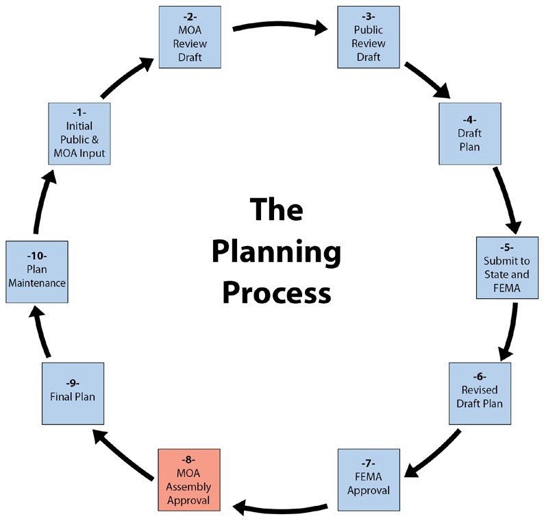
The plan follows FEMA's required steps: committee, public review, state and FEMA approval, then adoption by the Municipal Assembly.